Hiking Trail
HG5 - Hilgert, the Masselbach valley and to the Glockenschächte
Route profile
Notice
In the tour planner we inform you under the tab "Current info" about temporary route changes, closures and detours.
To the Tour PlanerDescription
The name Pfeifenbäckerhalle already reveals that Hilgert is a location of the ceramics craft. Various craft businesses still produce the famous ceramics of the Kannenbäckerland here today.
From the starting point on Waldstraße, our hiking route leads through the town of Hilgert. Soon we leave the settlement and follow farm tracks through an open pasture landscape. In the forests, our descent into the Masselbach valley begins. At Grenzau station, which is accessible via a short detour, we also find a catering facility to refresh ourselves.
We now follow the little valley with its floodplains and forests to Hundsdorf. Nature is currently reclaiming the forest areas that were cleared in recent years. Especially in spring, blooming landscapes emerge here.
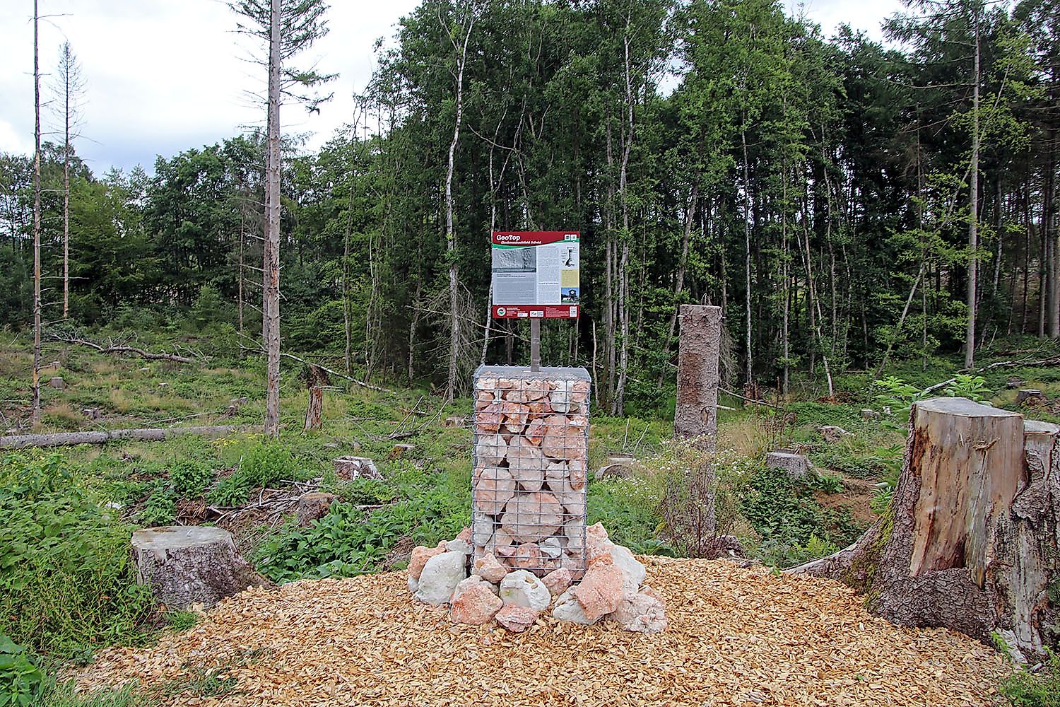
In the last section of our hike, we pass the GeoTop Glockenschächte, a relic of historic clay mining in the Kannenbäckerland.
Approach
Hilgert is accessible via state road 307 from Höhr-Grenzhausen and Ransbach-Baumbach. The starting point is the Pfeifenbäckerhalle or the sports ground.
Public transport
The VRM 425 bus line connects Hilgert on weekdays and weekends to the towns of Höhr-Grenzhausen, Ransbach-Baumbach, Wirges, and Montabaur.
Parking
There are sufficient public parking spaces available at the sports ground on Waldstraße.
Directions
The name Pfeifenbäckerhalle already reveals that Hilgert is a location of the ceramics craft. Various craft businesses still produce the famous ceramics of the Kannenbäckerland here today.
From the starting point on Waldstraße, our hiking route leads through the town of Hilgert. Soon we leave the settlement and follow farm tracks through an open pasture landscape. In the forests, our descent into the Masselbach valley begins. At Grenzau station, which is accessible via a short detour, we also find a catering facility to refresh ourselves.
We now follow the little valley with its floodplains and forests to Hundsdorf. Nature is currently reclaiming the forest areas that were cleared in recent years. Especially in spring, blooming landscapes emerge here.
In the last section of our hike, we pass the GeoTop Glockenschächte, a relic of historic clay mining in the Kannenbäckerland.
Tips
In Hilgert, the famous ceramics of the Kannenbäckerland are still handcrafted in pottery workshops today. A visit is worthwhile!
Literature
At the tourist information in the Ceramic Museum Höhr-Grenzhausen, you can get the official hiking map of the Kannenbäckerland.
Destination
Sports facility Waldstraße Hilgert
Starting Point
Sports facility Waldstraße Hilgert
More information & GPX download
Notice
In the tour planner we inform you under the tab "Current info" about temporary route changes, closures and detours.
To the Tour Planer
